Home
About
Services
The Team
Contact Us
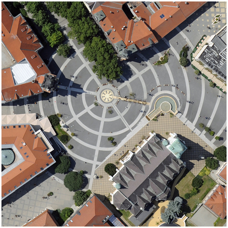
Aerial Surveys: Ortho Image Mosaics
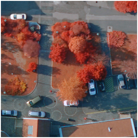
Multispectral Ortho Image Mosaics
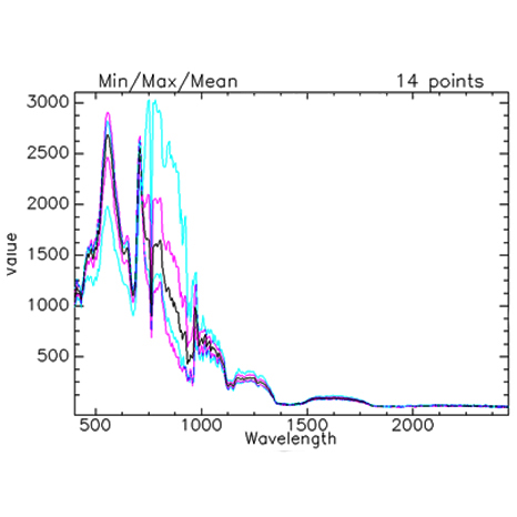
Hyperspectral Ortho Image Mosaics
Airborn Dense 3D Point Cloud
eTOD, OLS, GIS and airport development
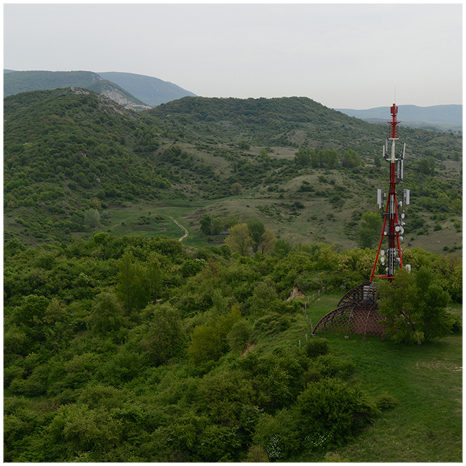
Aerial Surveys for Telecommunication
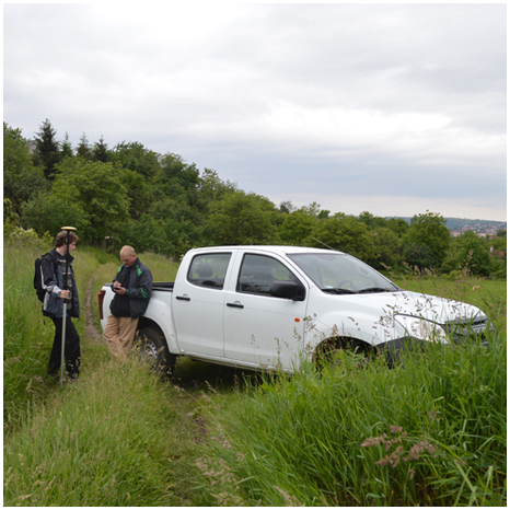
Geodetic Surveys
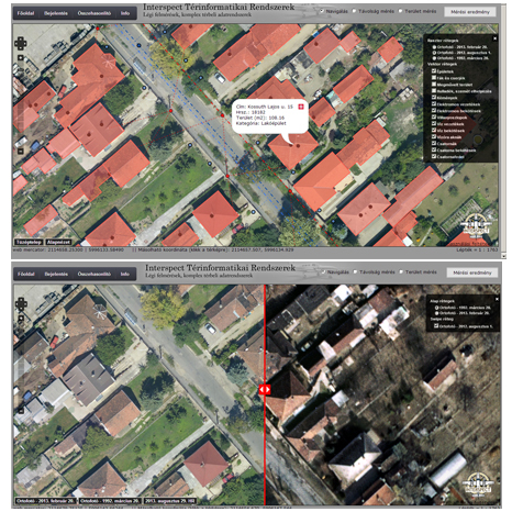
Online GIS websites
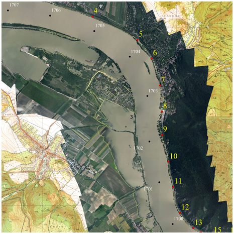
Survey & examination for water management
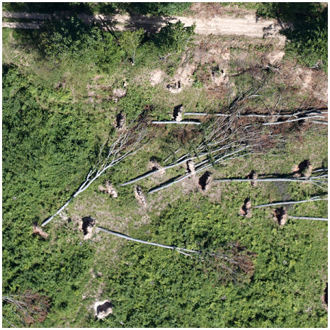
Forest management maps
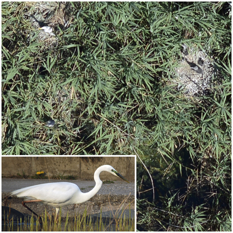
Nature & wildlife conservation
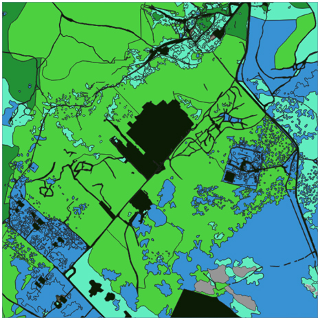
Ecosystem service mapping
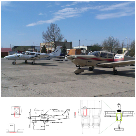
Aircrafts for Remote Sensing
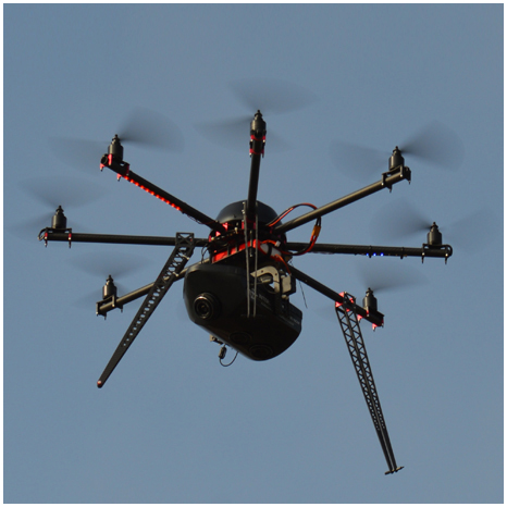
INTERSPECT Multirotor UAS
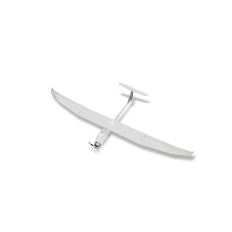
INTERSPECT UAS A